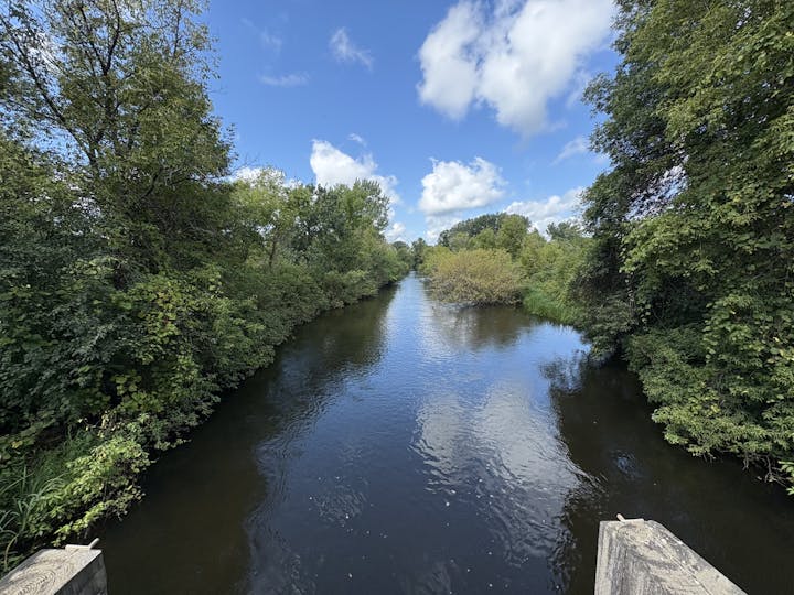
Stream Monitoring

The District monitors 13 total stream locations throughout the watershed: MFC1, MFC3, MFC4, MFC5, CD37, JD17, CL3, DL1, DL6, DL7, SWL2, Manannah, and Paynesville (stream sites depicted as yellow diamonds in map above).
At each of these stations, we monitor water quality paramters (i.e. Total Phosphorus, Total Kjeldahl Nitrogen, and Total Suspended Solids), stream height, conditions, and clarity. Together, these readings help the watershed district understand the overall river health and how it affects the surrounding environment. These results are used to take appropriate action to protect and restore water quality.


