WPLMN River Site Sampling


The Middle Fork Crow River Watershed District (MFCRWD) collaborates with the North Fork Crow River Watershed District and the Watershed Pollutant Load Monitoring Network (WPLMN) to support long-term water quality monitoring across Minnesota. WPLMN is a statewide partnership that includes local, state, and federal agencies, the Metropolitan Council Environmental Services, state universities, and other local organizations.
Since 2007, this network has collected consistent water quality data to identify long-term trends and changes over time. Each year, approximately 18–20 samples are collected per season from around 200 monitoring sites. These efforts help track pollutant levels and generate valuable educational resources for Minnesota residents.
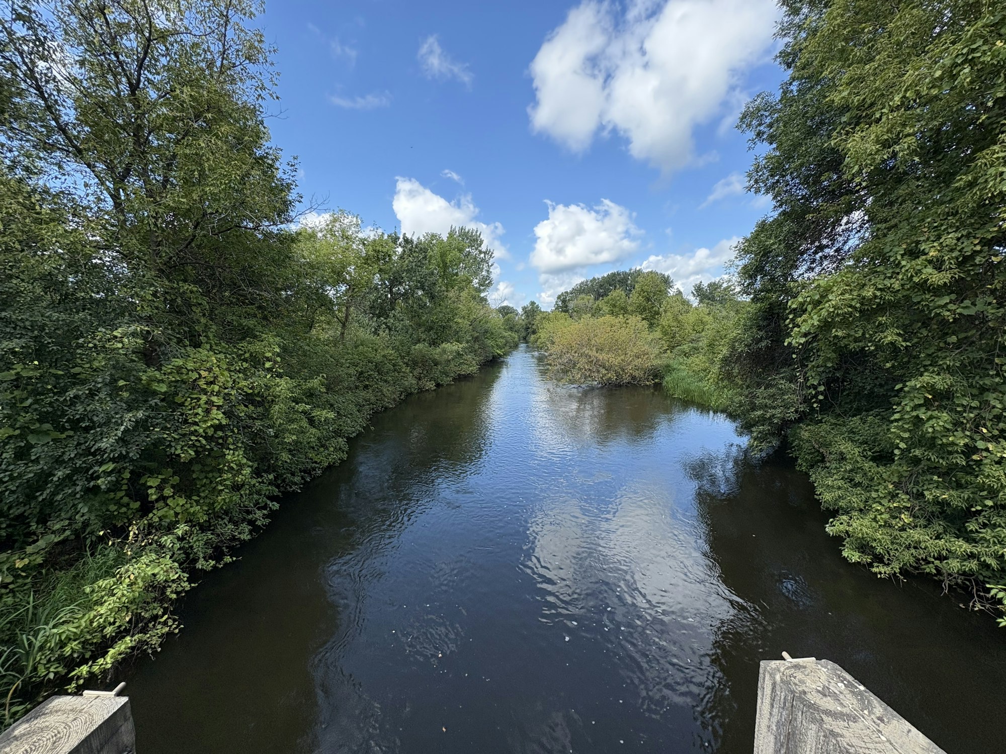
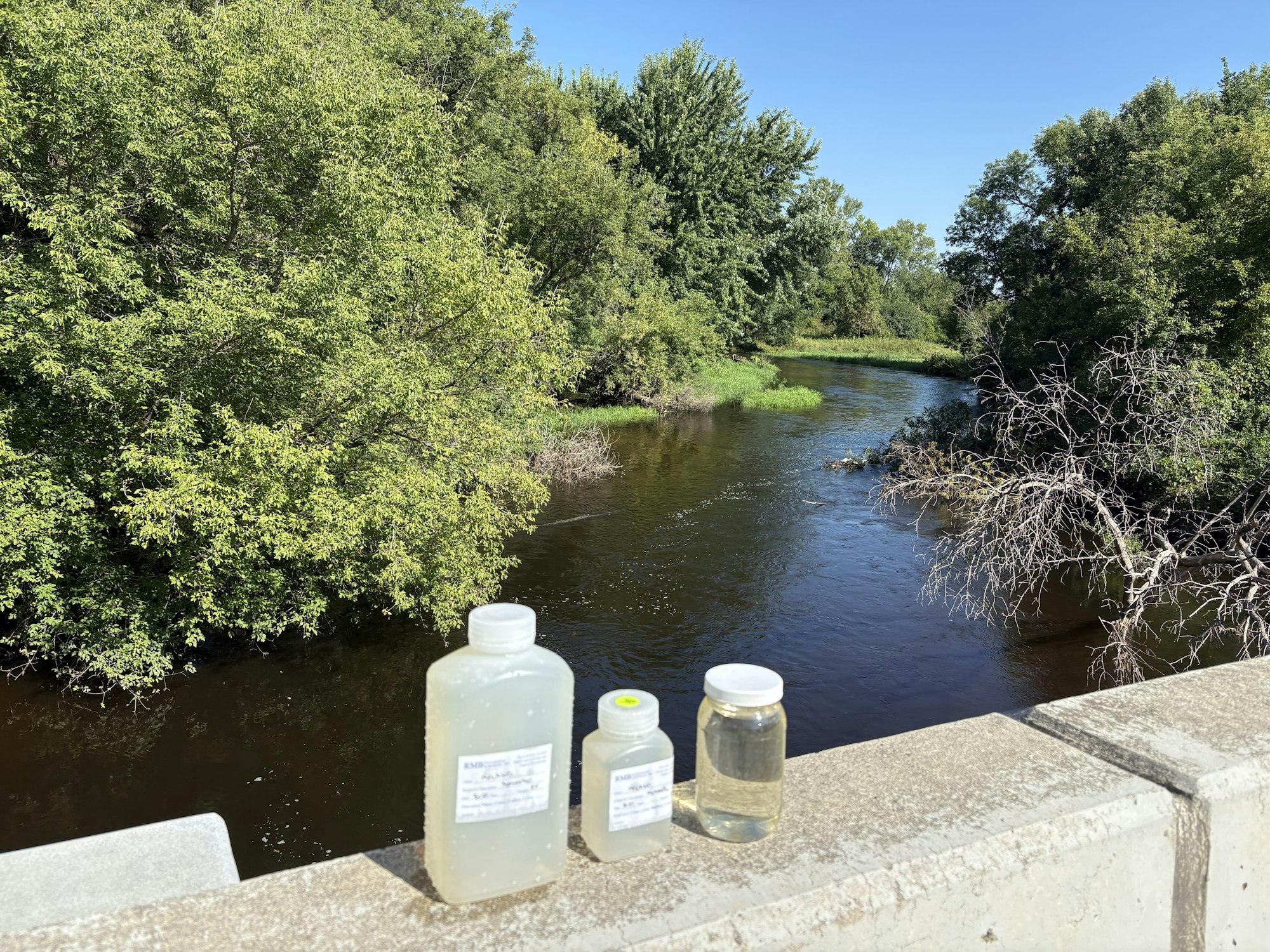
MFCRWD monitors two WPLMN sites located near Paynesville and Manannah. Samples from these locations help detect pollutants moving through the rivers and are used to calculate pollutant concentrations—key indicators of river health. Parameters measured include suspended solids, nitrate, and phosphorus.
You can view data from our sampling sites at the DNR’s Cooperative Stream Gaging site:
- Cooperative Stream Gaging at Paynesville, North Fork Crow River
- Cooperative Stream Gaging at Manannah, Middle Fork Crow River
Learn more:
